Digging Deep. Delivering Excellence.
Building in Yancey County is not like building anywhere else. The Cane River and South Toe River basins drain some of the steepest, most unforgiving terrain in the Eastern United States. When a summer storm rolls over the Black Mountains, those watersheds don’t swell — they surge. Infrastructure here has to be engineered for the worst day, not the average one.
That means designing every stream crossing with rigorous bridge scour protection so that floodwaters can’t strip the soil from around your abutments and piers. It means anchoring foundations deep enough that a 100-year flood event doesn’t compromise the substructure you’re standing on.
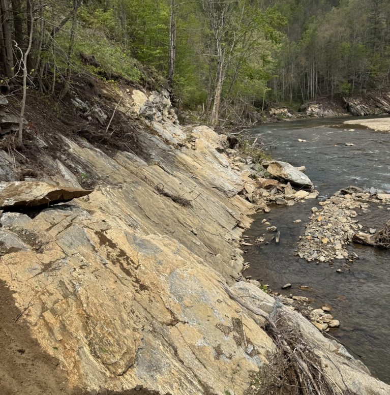
It also means knowing what’s underground before you drill. The native Ashe Metamorphic Suite — the muscovite-biotite gneiss and schist that underlies most of this region — contains sulfide-bearing minerals. Expose that rock during deep pier or footing excavation, and you get a highly corrosive acid runoff that can degrade standard concrete and steel while killing the trout-fishing streams your neighbors and county regulators care about deeply.
Mitchell Construction Co. LLC understands this geology. We plan for it before a single drill bit turns.
From residential projects to commercial developments, we provide end-to-end solutions for every stage of construction.
If you are developing a subdivision or a large mountain property in Yancey County, the bridge on your private access road is very likely a legal liability you haven’t fully accounted for.
Under NC Fire Code Section 503.2.6, any bridge providing vehicle access to two or more dwellings must be built and maintained as a Fire Apparatus Access Road. That means a minimum 20-foot unobstructed travel width and a load capacity engineered to support the full structural weight of a ladder truck or tanker. A standard residential timber bridge does not meet this standard. Neither does an undersized culvert crossing with deteriorating headwalls.
On top of that, any bridge designed to serve multiple lots must meet AASHTO HB-17 bridge engineering standards for Yancey County — meaning you need sealed structural drawings, a licensed engineer of record, and a design that can handle emergency vehicle weights without deflection failures.
Mountain land developers and large HOAs learn this the hard way, usually when the county pulls their certificate of occupancy or when a fire department can’t cross a flooded creek to reach a burning home.
Mitchell Construction Co. LLC handles the entire turnkey process — design coordination, sealed engineering prints, and final municipal code inspection approvals — so you don’t get caught in a compliance gap.
A large-acreage developer near Pensacola required a 60-foot single-span crossing over a volatile tributary of the Cane River. Mitchell Construction executed full USACE permitting, drilled reinforced concrete piers to scour-safe depth in fractured gneiss bedrock, and installed NCDOT-compliant steel girders rated for fire apparatus access. The bridge passed county load inspection on the first review.
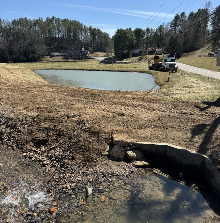
An aging corrugated steel culvert along the NC 197 North corridor was failing under repeated high-velocity flood events from Cattail Creek’s steep upper watershed. Mitchell Construction replaced the structure with a reinforced concrete box culvert engineered to the local Cane River basin floodplain development permit standards, with class-spec rip-rap armoring on both headwalls to prevent future scour.
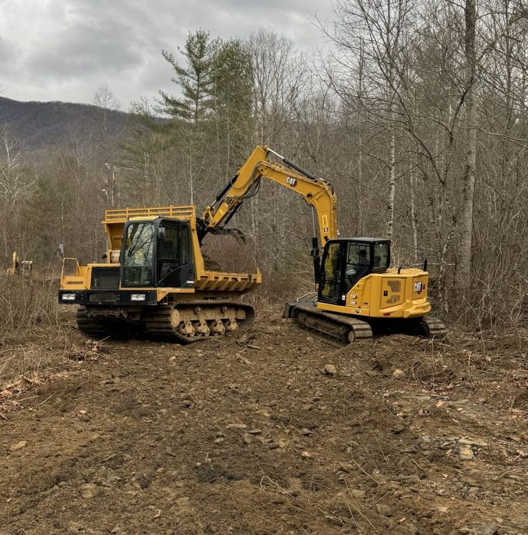
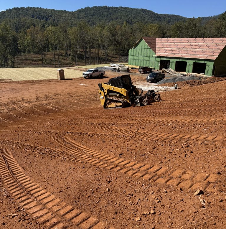
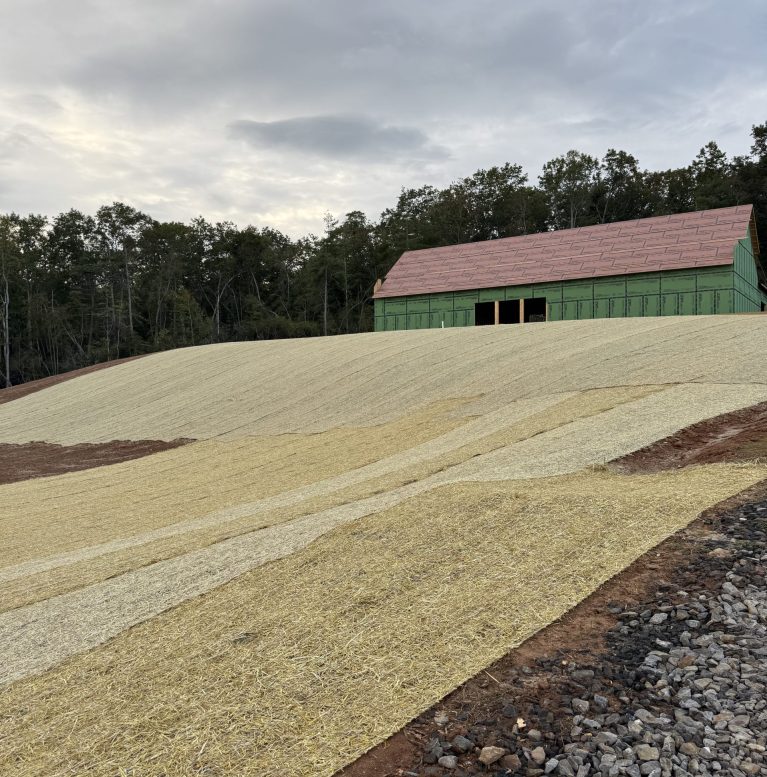
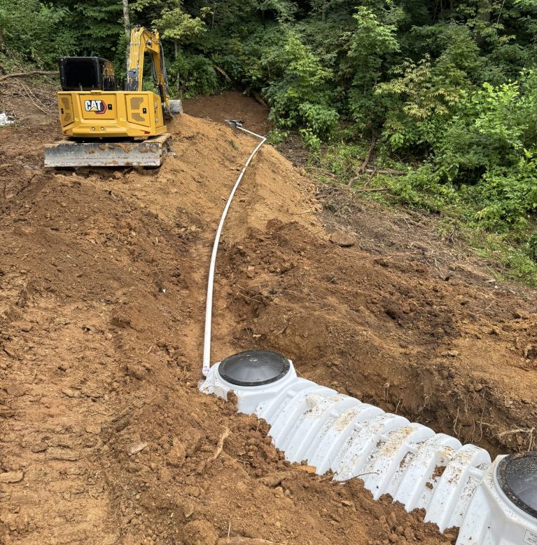
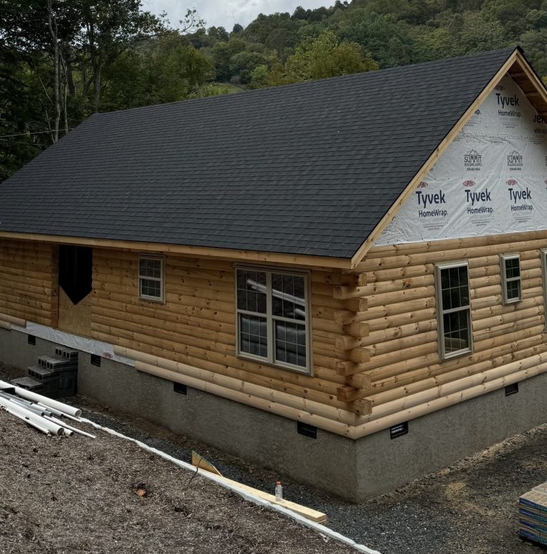
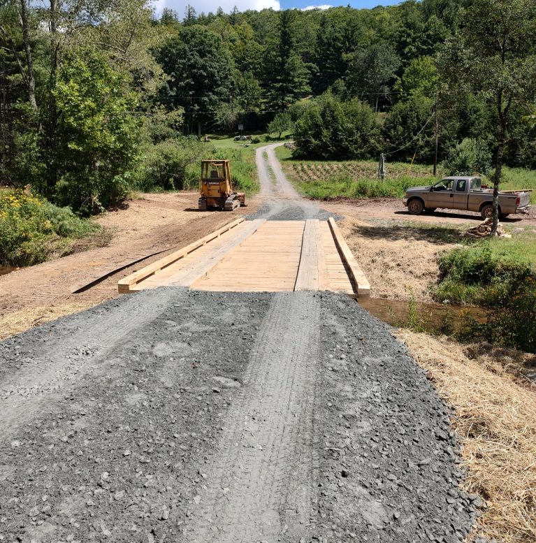
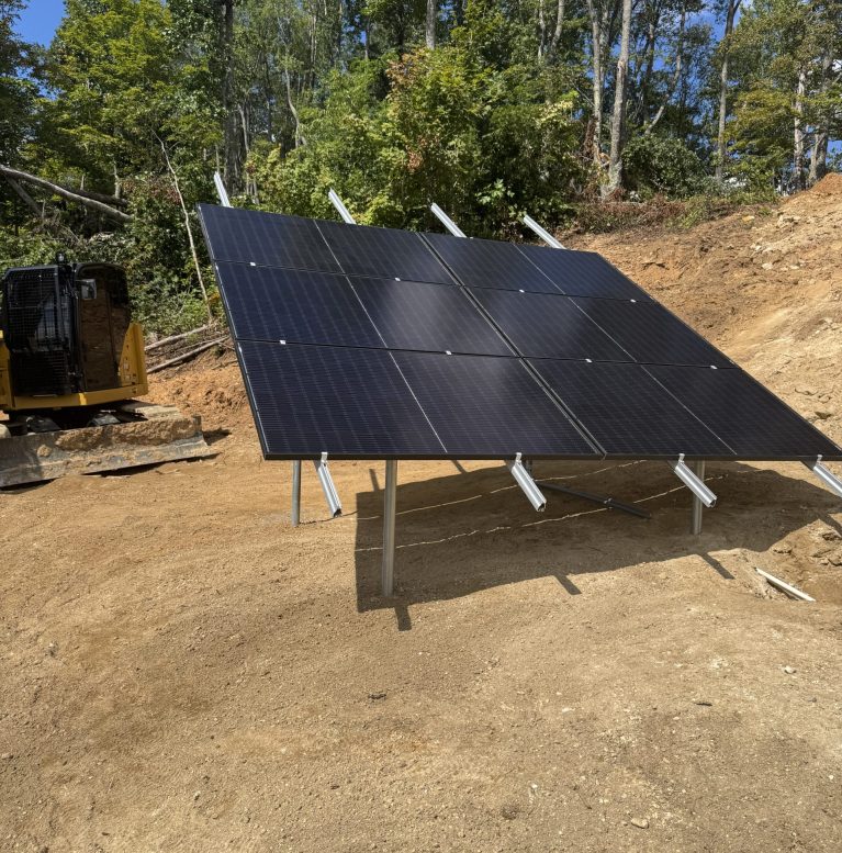
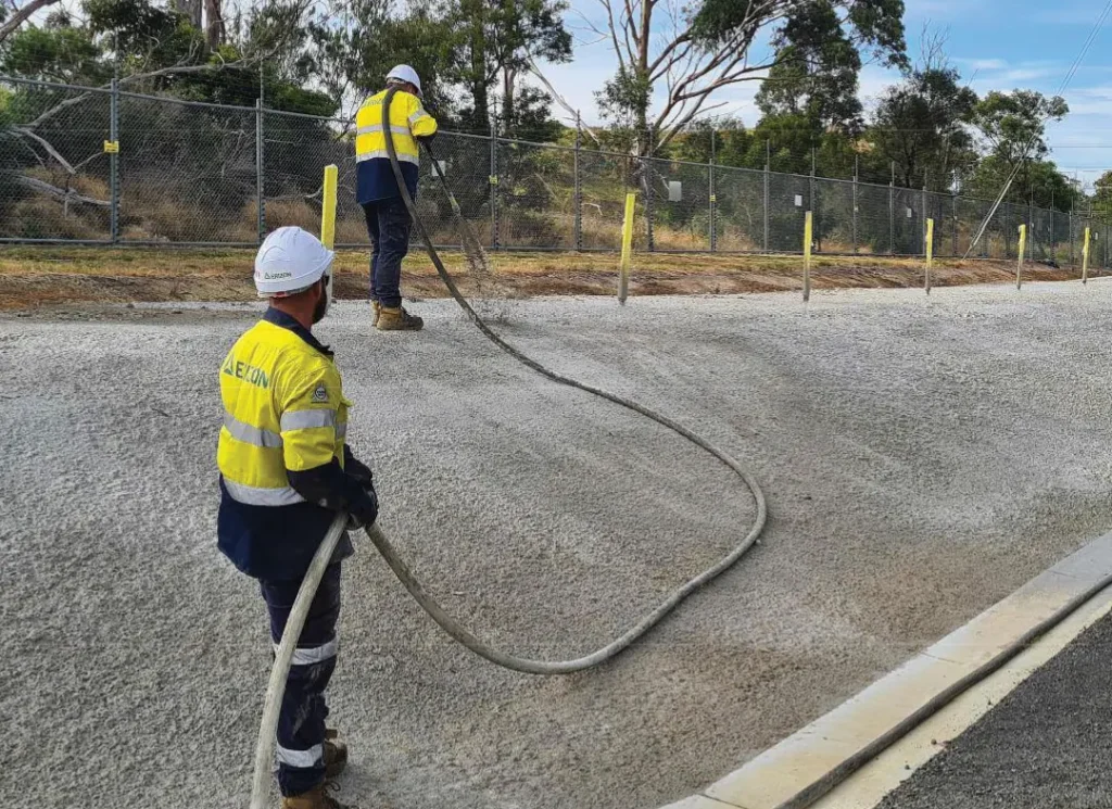
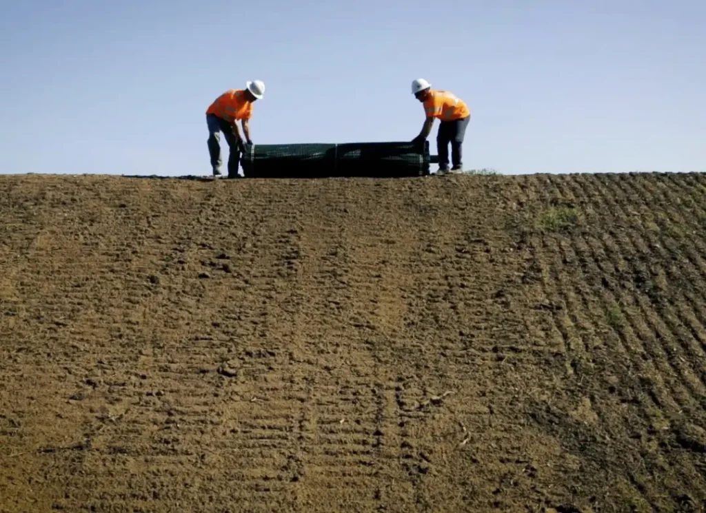
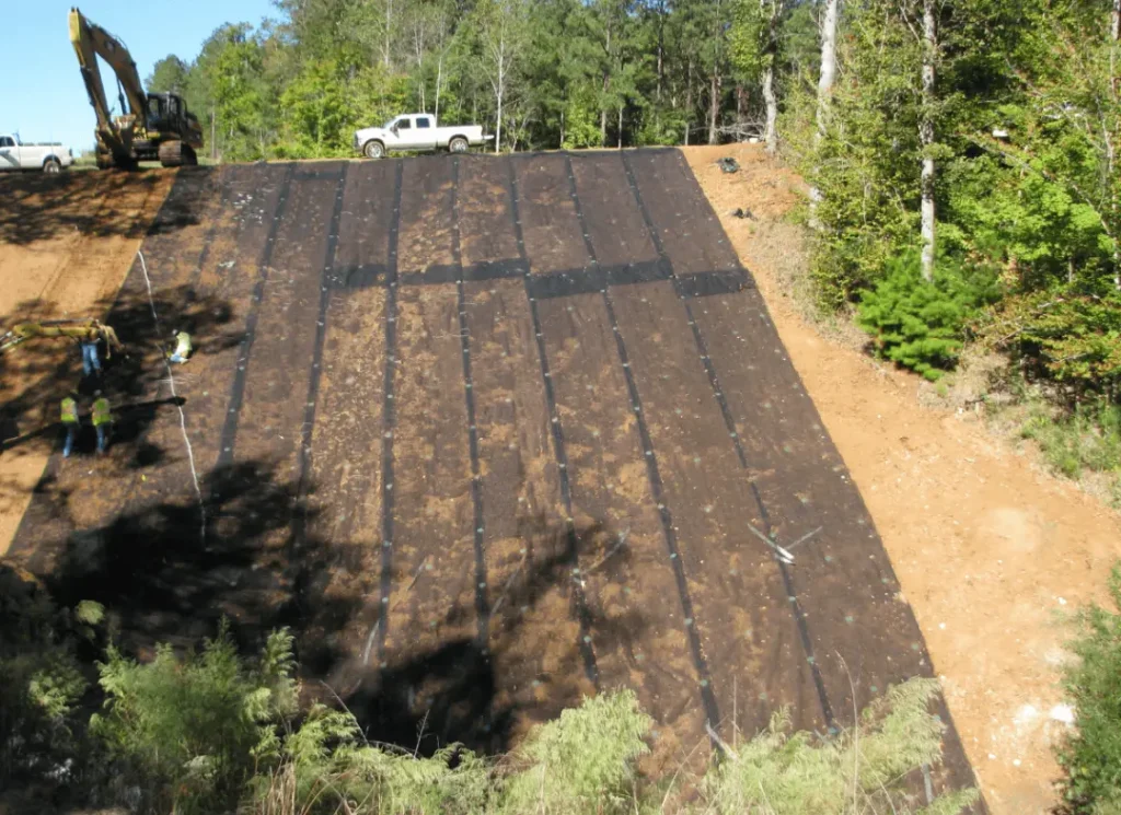
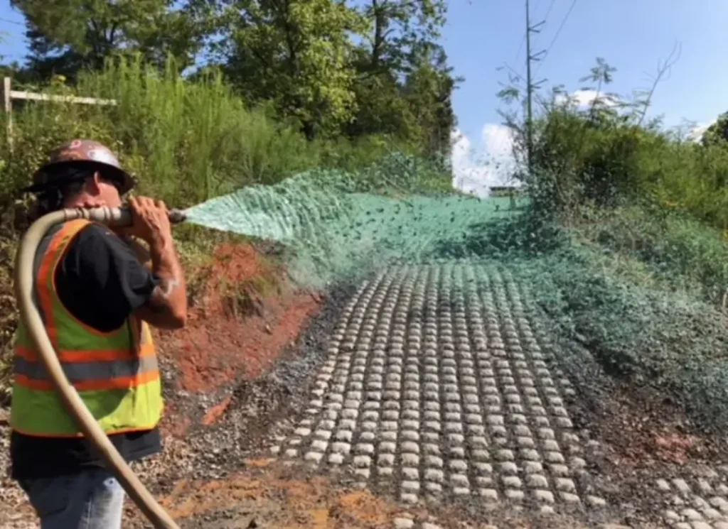
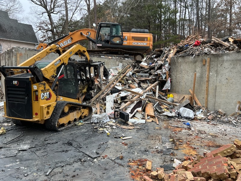
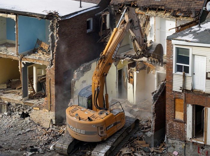
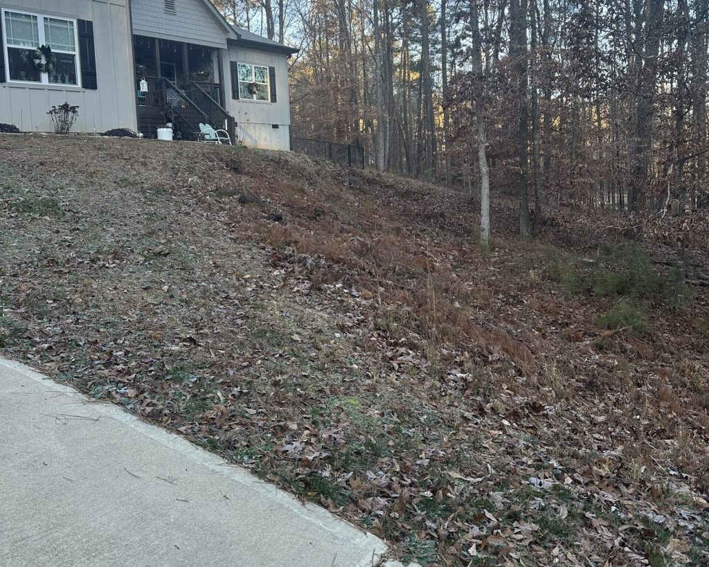
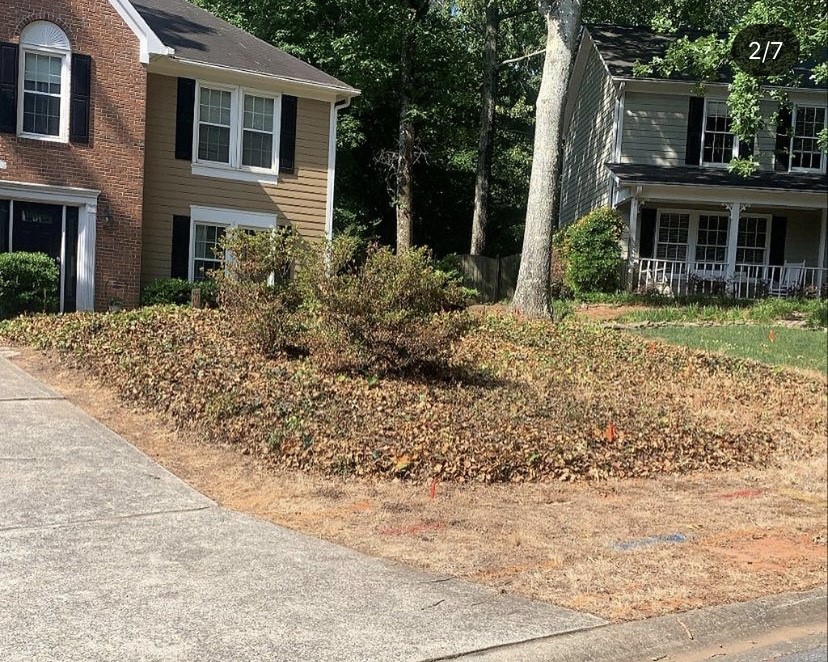
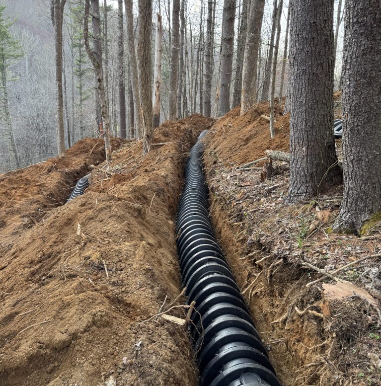
Take a look at some of our latest work. Scroll through the photos below to see our team in action and the results we deliver.
Any bridge serving two or more dwellings must meet NCDOT and AASHTO HB-17 bridge engineering standards for Yancey County. You will need a USACE stream disturbance permit, an NC DEQ water quality certification, and a local Floodplain Development Permit if the crossing sits within a mapped Special Flood Hazard Area. Sealed engineering drawings are required before construction begins.
In a Special Flood Hazard Area, the lowest structural member of the bridge must meet or exceed the Regulatory Flood Protection Elevation — defined as 2 feet of freeboard above the Base Flood Elevation. The BFE for your specific crossing is determined by FEMA flood mapping or a site-specific hydrologic study if detailed maps are unavailable.
Yes. For any structure placed within a mapped floodway, we coordinate the engineered “No-Rise” hydrologic study through a licensed civil engineer. This hydraulic modeling must demonstrate that your bridge abutments will not raise upstream flood elevations. The completed study and certification are submitted as part of your Floodplain Development Permit application.
It can. The Ashe Metamorphic Suite geology underlying much of Burnsville contains sulfide-rich gneiss and schist. When excavated for deep pier or footing installation, exposure to air and water triggers acid generation that can aggressively degrade standard Portland cement concrete and bare steel reinforcement over time. We account for this during the foundation design phase with appropriate concrete mix specifications and protective coatings where warranted.
Yes. We maintain close working relationships with regional aggregate suppliers along the 19E corridor and operate heavy highway-rated equipment sized for the access constraints typical of Yancey County mountain terrain. Logistics coordination — including oversize load routing and staging for remote valley sites like those in the upper South Toe River basin — is part of our standard project planning.